Below the dense, persistent clouds, the surface has volcanoes and deformed mountains. [NASA Science] One mountain reaches 36,000 feet (11 kilometres), higher than Mt. Everest. [NASA Science]
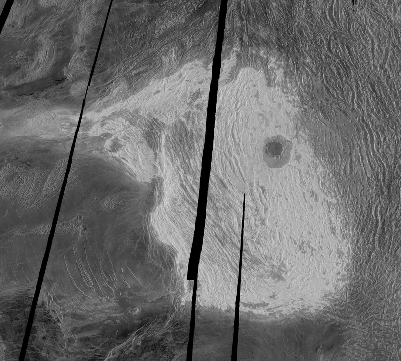
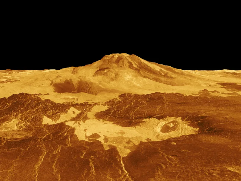
Maxwell Montes and Cleopatra Crater, in a full-resolution Magellan radar image centred at 65° north, 6° east. NASA’s caption gives Maxwell as the highest mountain on Venus, rising almost 11 kilometres (6.8 miles) above the mean planetary radius.NASA / JPL · Public Domain (NASA)Maat Mons in a computer-generated three-dimensional perspective of the Venusian surface, released by NASA from Magellan radar data on 22 April 1992. The vertical scale is exaggerated; the colour is a conventional treatment, not a snapshot in visible light.NASA / JPL · Public Domain (NASA)
Magellan found that at least 85% of the Venusian surface is covered with volcanic flows. [NASA Science] Tesserae are terrain with intricate patterns of ridges and grooves. [NASA Science]
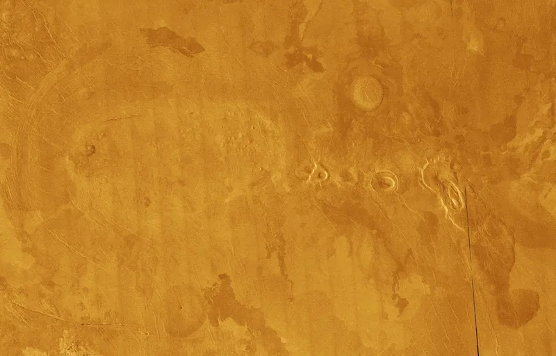
A full-resolution Magellan mosaic of volcanic plains on Venus, in false colour, showing a concentrated field of volcanic features. This is a radar mosaic, not an aerial photograph.NASA / JPL · Public Domain (NASA)
Except for Earth, Venus has by far the fewest impact craters of any rocky planet. [NASA Science]
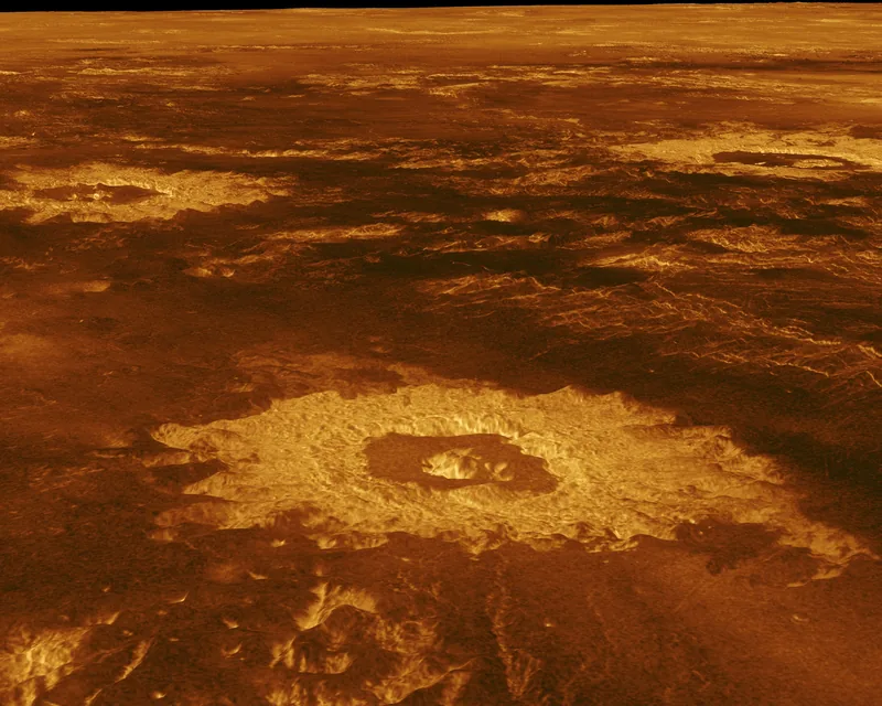
Three impact craters in a computer-generated three-dimensional perspective of northwestern Lavinia Planitia, from Magellan radar data. The vertical scale is exaggerated.NASA / JPL · Public Domain (NASA)
The Soviet Union sent a series of Venera probes to Venus between 1961 and 1984. Ten probes made it to the surface; the longest survivor lasted two hours, the shortest 23 minutes. [NASA Science]
The lander photographs themselves are not shown here. The pictures we do use are NASA radar views and visualisations, each captioned as such.